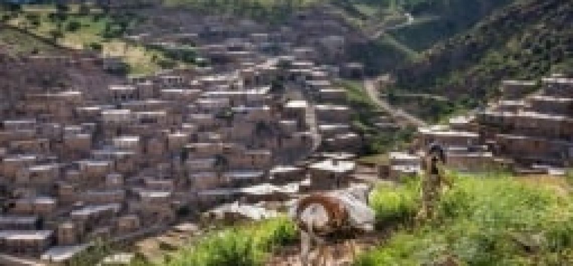
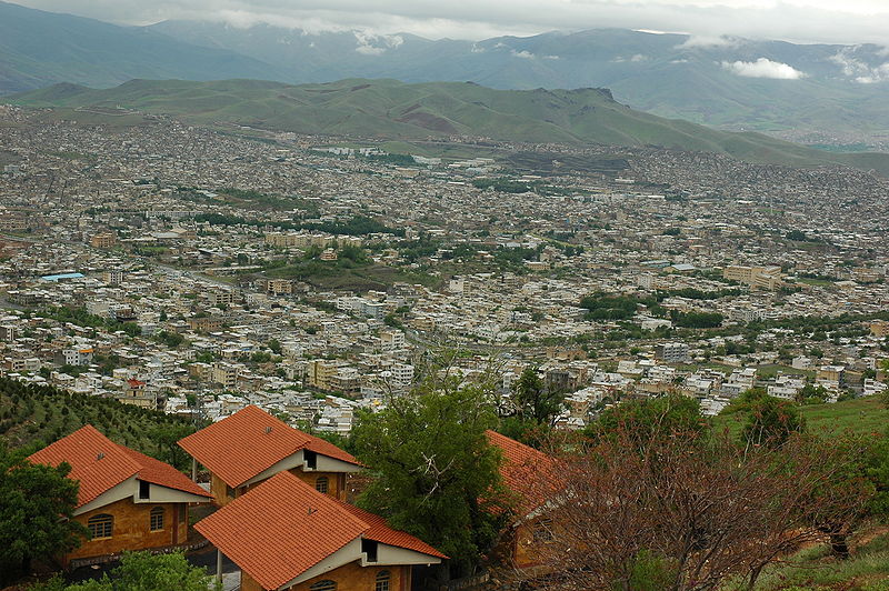
Sistan and Balouchestan Province is one of the 31 provinces of Iran. It is located in the southeast, bordering Pakistan and Afghanistan and its capital is Zahedan. The province is the second largest province in Iran (after Kerman province), with an area of 181,785 km2.

Ghaleh naseri
Ghaleh naseri

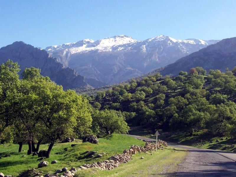
The province comprises two sections, Sistan in the north and Baluchestan in the south. The province is subject to seasonal winds from different, the most important of which are the 120-day wind of Sistan know as Levar, the Qousse wind, the Seventh (Gavkosh) wind, the Nambi or south wind, the Houshak wind, the humid and seasonal winds of the Indian Ocean, the North or (Gurich) wind and Nambi or south wind, the Houshak wind, the humid and seasonal winds of the Indian Ocean the North or (Gurich) wind and the Western ( Gard) wind.

SAB FORT
SAB FORT

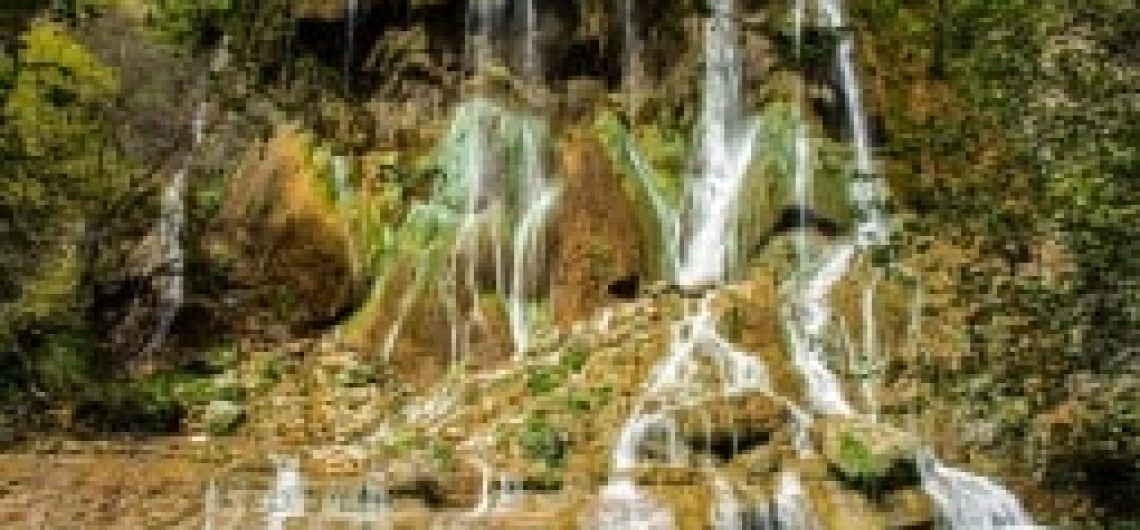
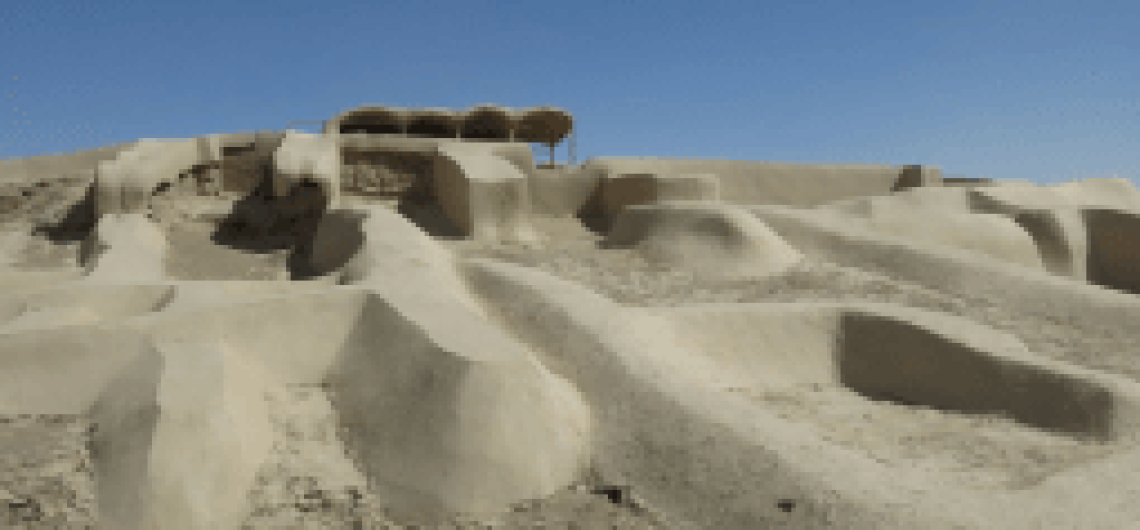
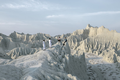
In terms of climate classification, Sistan and Balouchestan province is dry. The Sistan Plain, located in the middle of the desert has a rainfall of less than 65 mm a year, with a vaporization of more than 5,000 mm.

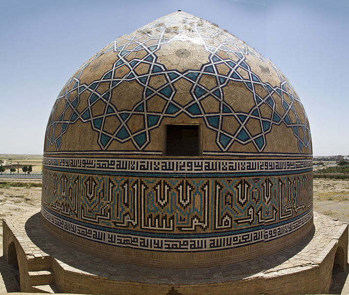
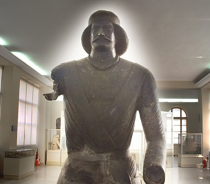
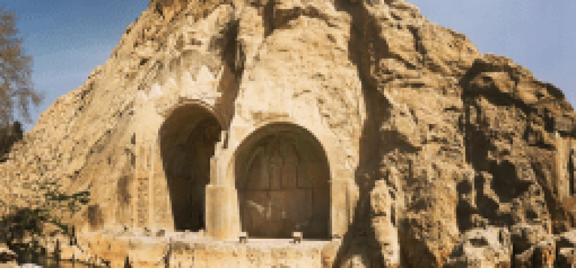
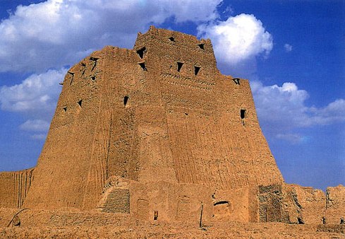
In the reliefs of Bisotoun and Perspolis, Sistan is mentioned as one of the eastern territories of Darius the Great. The name Sistan is derived from Saka, a Central Asian tribe that had taken control over this area in the year 128 BCE. During the Arsacid Dynasty, the province became the seat of Suren-Pahlav Clan. From the Sassanid period till the early Islamic period, Sistan flourished considerably.

During the reign of the second caliph of Islam, Omar Ebn-e Al-Khattab, this territory was conquered by the Arabs and an Arab commander was assigned as governor. The famous Persian ruler Ya’qoub Leyth Saffāri, whose descendants dominated this area for many centuries, later became governor of this province. In 916 CE, Balouchestān was ruled by the Daylamids and thereafter the Seljuqids, when it became a part of Kerman. Dynasties such as the Saffarids, Samanids, Qaznavids, and Seljuqids, also ruled over this territory.

Under the rule of the Seljugids in Kermān, the Balouchestan region was also occupied and was subordinate to Kermān. After the rule of Nader, Balouchestan belonged to Iran perfunctory, but the central government did not have full control over it.

Martian Mountains in Chabahar region in Sistan and Baluchestan Province

In the south, east and west of Sistan and Baluchestan, the people are mostly Balouch and speak the Baluchi language. In the far north of Sistan and Baluchestan the people are mostly Persians and speak a dialect of the Persian language in Afghanistan.

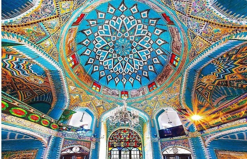
Baluchis are predominantly Sunni Muslims. Sistanis, however, are predominantly Shia Muslims.The local costume refers the climatic conditions of Balochistan, which is warm and dry, since the people used to choose their clothes on this basis from the oldest times.

Reference: Cultural Heritage, Handicrafts & Tourism Organization of Iran, Iran Travel guide. Iran: 2018

Shiraz is located in the southwest of Iran on the Khoshk River” (The Dry River) seasonal river. It has a moderate climate and has been a regional trade center for over a thousand years. It is one of the oldest cities of ancient Persia and regarded as the cultural capital of Iran and the city of poetry, gardens and love. Shiraz is famous for its laidback atmosphere as well as its many historical and natural sites. This enchantress of a city leaves all visitors enamored with its attractions ranging from the ruins of the ancient Achaemenid capital in Persepolis, its necropolis Naqsh-e Rostam and the mysterious Cube of Zoroaster, the final resting place of Cyrus the Great in Pasargadae and the ruins of Bishapour to the lush Eram and Jahan-Nama gardens, extravagant Qajar mansions like Zinat ol-Molouk and Qavam houses, striking Jame Atiq and Nasir al-Molk mosques and the historic Quran Gate. May 5th is named the day of Shiraz by approve of the Parliament, on this occasion, every year, special events will be held by the municipality of Shiraz.

Arg of Karim Khan - outside view
Arg of Karim Khan – outside view

Shiraz is most likely more than 4,000 years old. The name Shiraz is mentioned in cuneiform inscriptions from around 2000 BC found in southwestern corner of the city. According to some Iranian mythological traditions, it was originally erected by Tahmoures Divband, and afterward fell to ruin. In the Achaemenian era, Shiraz was on the way from Susa to Persepolis and Pasargadae. In Ferdowsi’s Shahnameh it has been said that Artabanus V, the Parthian Emperor of Iran, expanded his control over Shiraz. Qasr-e Abu-Nasr (meaning “the palace of Abu-Nasr”) which is originally from Parthian era is situated in During the Sassanid era, Shiraz was in between the way connecting Bishapour and Gur to Istakhr. Shiraz was an important regional center under Sassanians. The city became a provincial capital in 693, after Arab invaders conquered Istakhr, the nearby Sassanian capital. As Istakhr fell into decline, Shiraz grew in importance under the Arabs and several local dynasties. The Buwayhid Empire (945-1055) made it their capital, building mosques, palaces, a library and extended city wall. It was also ruled by the Seljuks and the Khwarezmians before the Mongol conquest. In the 13th century, Shiraz was a leading center of the arts and sciences due to its many scholars and artists. The poet of Hafez, whose poems have captured the hearts of many throughout the world, hailed from this city. The tombs of Hafez, Sa’di, and Khaiou Kermani in the city are stunning structures erected in memory of these legendary bards.

SHIRAZ
SHIRAZ


Shirāz soon returned to prosperity under the rule of Karim-Khan-e Zand, who made it his capital in 1762. Employing more than 12,000 workers, he constructed a royal district with a fortress, many administrative buildings, a mosque and one of the finest covered Bazars in Iran. He had a moat built around the city, constructed an irrigation and drainage system, and rebuilt the city walls. However, Karim-Khan’s heirs failed to secure his gains. When Agha Mohammad Khan, the founder of the Qajar dynasty, eventually came to power, he wreaked his revenge on Shiraz by destroying the city’s fortifications and moving the national capital to Tehran. Although lowered to the rank of a provincial capital, Shiraz maintained a level of prosperity as a result of the continuing importance of the trade route to the Persian Gulf. Its governorship was a royal prerogative throughout the Qajar dynasty. Many of the famous gardens, buildings and residences built during this time contribute to the city’s present skyline.

NASIRA OLMOLK SHIRAZ

Reference: Cultural Heritage, Handicrafts & Tourism Organization of Iran, Iran Travel guide. Iran: 2018

Razavi Khorasan is a province located in northeastern Iran. Mashhad is the center and capital of the province. Razavi Khorasan is one of the three provinces that were created after the division of Khorasan Province in 2004.

The area of Razavi Khorasan province is 116485.49 km2, which covers 7% of the total area of Iran. 49.2% of the province is mountainous and 50.8% are plains. The province consists of four basins: Atrak, QArakhm, central desert and eastern Iran. This province has relative and moderate rainfall and humidity. Qouchân city with 296 mm, the highest annual rainfall and Gonabad city with 71 mm have the lowest annual precipitation among the centers of cities which have weather station.

 
Iran-Documentary-Hamid-Mojtahedi

Note: Since Khorasan district was divided into three provinces (Razavi Khorasan, North Khorasan, and South Khorasan) in 2004, you may find some similarities in the wording presented in the history part of these 3 provinces.

The Parthian empire was based near Merv in Khorasan for many years. During the Sassanid dynasty the province was governed by a Spahbod (Lieutenant General) called Padgošban and four margraves, each commander of one of the four parts of the province.

Khorasan was divided into four parts during the Muslim conquest of Persia, each section being named after the four largest cities, Neishabour, Merv, Herat, and Balkh. Finally, Khorasan was divided into two parts: the eastern part, which was the most densely populated region came under British occupation, and the other western section remained part of Iran. Khorasan was the largest province of Iran until it was divided into three provinces on September 29, 2004.

Qanats of Gonabad in Gonabad

The provinces approved by the parliament of Iran (May 18, 2004) and the Council of Guardians (May 29, 2004) were Razavi Khorasan, North Khorasan, and South Khorasan. The province holds ancient and enormous libraries, powerful media, cultural-scientific centers as well as several institutes in the fields of spontaneous publishing.

Mausoleum of Omar Khayyám

Reference: Cultural Heritage, Handicrafts & Tourism Organization of Iran, Iran Travel guide. Iran: 2018

Damavand from Abbasabad

Mazandaran is an Iranian province located along the southern coast of the Caspian Sea and adjacent to Central Alborz mountain range, in central-northern Iran. Mazandarān Province is one of the most densely populated provinces in Iran and has diverse natural resources, notably large reservoirs of oil and natural gas. The province’s four largest counties are Sari, Amol, Nour, and Tonekābon. The diverse nature of the province features plains, prairies, forests and rainforest stretching from the sandy beaches of the Caspian Sea to the rugged and snowcapped Alborz sierra, including Mount Damavand, one of the highest peaks and volcanos in Asia. More than 800 registered historical and cultural sites, 338 km of shorelines, mineral springs in jungles and mountains, waterfalls, and caves are among the major tourism attractions in the Mazandaran province.

Gold cup kalardasht
Gold cup kalardasht
 

The province covers an area of 23,842 km2. Sari is the capital city of the province. From the geographical point of view, Mazandaran province is divided into two parts i.e. coastal plain and the mountainous area. It has a variety of climates, including the mild and humid climate of Caspian shoreline and the moderate and cold climate of mountainous regions.

Caviar on Black
Caviar on Black

Human habitation in the area dates back to 75,000 years ago. Recent excavations in Gohar Tappeh in Behshahr is a proof that the area has been urbanized for more than 5,000 years, and the area is considered one of the most important historical sites of Iran. It has played an important role in cultural and urban development of the region. Mazandaran is one of the oldest areas with sedentary lifestyle. In the early 200 century, by constructing seven new roads and railways, the provinces of Mazandaran and Gilan became known as Shomal by all Iranians (meaning “the North” in Persian).

Vase with grape harvesting scenes BM

The population is mostly dedicated to Mazandaran is, with a minority of Azerbaijan is, Georgians, Armenians, Circassians, Turkmen, Gilaks and others. Mazanderani or Tabari is a Northwestern Iranian language. Various Mazandarani dialects are spoken in Mazandaran province and the neighbor province Golestan such as Mazanderani, and Gorgani and possibly Qadikolai (Ghadikolai) and Palani. Tirgan, tying rainbow-colored bands on wrists and Varf chal are some of the important customs in this province.

Caspian Sea in Mazandaran
Mazandaran Sevatcow Dowab

Reference: Cultural Heritage, Handicrafts & Tourism Organization of Iran, Iran Travel guide. Iran: 2018

Markazi Province is one of the 31 Provinces of Iran. The word Markazi means central in Persian. In 2014 it was placed in Region 4. Markazi lies in western Iran. Its capital is Arak. Markazi province is one of industrial regions of Iran. The economy is composed of service, industrial and agricultural sectors respectively. Many mother industries such as petrol, petrochemicals, and metals are concentrated in the province. The are many potentialities in Markazi Province based on ecotourism, rural and nomadic tourism.

The Congregation Mosque of Narāgh. Markazi province is rich in historical and architectural heritage.

Markazi Province, approximately in the center of Iran, is considered to be the industrial capital of Iran. Arak, a mega polis, is the capital and the largest city of the province. It borders with Tehran, Alborz and Qazvin provinces northwards; Hamadan eastward; Lorestan and Isfahan southwards; and Tehran, Qom and Isfahan eastwards. Markazi province has 29.530 km square area. Due to high mountains, proximity to central Iran, adjacent to the Howz Soltan area, Meghan desert and the Salt Lake, as well as the location of the crossroads of the two Alborz and Zagros mountains, rovince has diverse climates. Also, the direction and flow of winds in the western Mediterranean and the Atlantic, the massive air pressure of the Indian Ocean and the cold currents of Central Asia effect the climatic conditions of the province.

Markazi province was part of the Median Empire in the first millennium BC, Which included all of the central and western parts of modern-day Iran. The region is considered to be one of the ancient settlements on the Iranian plateau. Numerous remaining ruins testify to the antiquity of this area.

Amingholamali Saveh Jamee Mos. Dome Iran

In the early centuries Islam, the name of the area was changed to jibal or Qahestan. By the early 10th century, Khorheh had become a famous city of Jibal province, followed by Tafresh and Khomein. In recent years, the expansion of the North-South railroad and the establishing of major industries helped boost development in the area. Because of its great diversity and untouched environment, about 43 percent of Markazi population lives in rural areas, earning their livelihood from agriculture and animal husbandry. About 3000 nomadic households live in the province. Nearly 1000 households still migrate from and to Markazi province. The tribes are Shāhsavan, Kaleh-Koui, Mish-Mast, Khalaj, Rāveh, and Kalhor, each consists of some clans. Before the conquest of Iran by Arabs, the people of the region were chiefly Zoroastrian. Remains of many fire temples in Markazi province is the evidence of the fact. Now people are mainly Shiite Muslims. There are small minorities of Armenians and Jewish. Markazi province is a host to many languages and dialects. There are some dialects of Turkish, cluding Khalaji Turkish. The main language is Persian with its diverse dialects as Lori and Laki. Tati is a language derived from Ancient Persian, spoken in some regions of Ashtiyān. Mainly in Vafs. There are American speakers in Arak, Saveh and Kharanaq. Armenian villagers in Khomein had mainly left theri birthday after birthplace after 1970s to major Iranian cities.

Reference: Cultural Heritage, Handicrafts & Tourism Organization of Iran, Iran Travel guide. Iran: 2018

Lorestān Province is a province on the west of Iran in the Zagros Mountains with area of 28,392 km2. The name Lorestān means “land of the Lors”. In the wider sense it consists of that part of western Iran coinciding with the province of Ilām and extending for about 650 km on a northwest to southeast axis from Kermānshāh to Fars, with a breadth of 150-180 km.

Disc-headed pin zoom (2) Bronze Beaker Luristan 1000 BC (Rietberg museum

The province consists of mountains, with numerous ranges, part of the Zagros chain, running northwest to southeast. The central range has many summits that almost have perpetual snow, rising to 4000 m and more. It feeds most important rivers, such as the Zayandeh-Roud, Jarahi, Kāroun, Dez, Abi and Karkheh. Between the higher ranges lie many fertile plains and low hilly, well-watered districts. At KhorramAbad, the average annual precipitation totals 530 millimeters of rainfall equivalent, while up to 1270 millimeters may fall on the highest mountains. The months June to September are usually absolutely dry, but Khorram-Abad can expect 4 inches of rainfall in December and January.

Cave painting in Doushe cave, Lorstan, Iran, 8th millennium BC

The ancient history of Lorestān is closely intertwined with the rest of the Ancient Near East. In the 3rd and 4th millennium BC, migrant tribes settled down in the mountainous the Zagros Mountains. The Kassites, an ancient people who spoke neither an Indo-European nor a Semitic language, originated in Lorestān. They would control Babylonia after the fall of the Old Babylonian Empire ca. 1531 BC and until ca. 1155 BC.

The Lors constitute part of the southwestern branch of the Iranian peoples, who are spread across the Iranian plateau and beyond, stretching from the Hindu Kush to central Anatolia and from the Caucasus and Central Asia to the Persian Gulf-a region that is sometimes termed Greater Iran. Their language (called Lori or Lorish language) is closely related to Persian, and there are two distinct dialects. “Lor-e-Bozorg” (Greater Lor) is spoken by the Bakhtiaris, and “Lor-e-Kuchak” (Little Lor), spoken by the Lors. People in Boroujerd speak in Boroujerdi Dialect, a local Lori Persian dialect extracted from Lori. Northwest of Lorestān Province is dominated by Laki speakers. The overwhelming majority of Lors are Shia Muslims. Before the 20h century the majority of Lors were nomadic herders, with an urban minority residing in the city of Khorram-Abad by the mid-1980s the vast majority of Lors had beensettled in towns and villages throughout the province or had migrated to the major urban centers. Anumber of nomadic Lor tribes continue to exist in the province.

Reference: Cultural Heritage, Handicrafts & Tourism Organization of Iran, Iran Travel guide. Iran: 2018

Kurdistān province has an area of 29137 square kilometers in western Iran. The province is located on the slopes and ridges of Zagros, north of the provinces of West Āzerbāijān and Zanjān, from the east to Hamadan and Zanjān, from the south to Kermanshah province and from the west to Iraq. The center of the province is Sanandaj city.

Kurdistan Province is entirely a mountainous region that can be divided into two western and eastern sections from topographical points of view, which are located in the east and west of Sanandaj. Consequently, Kurdistān has always attracted a large number of tourists and fans of mountaineering, ski, and water-sports. Kurdistan has a generally mild and quite pleasant climate throughout the spring and summer. Winters are long and can be very cold with heavy snowfalls.

Snah

uated on the ancient Silk Road, on the northern edge of the fertile ent. Kurdistān grew to be a prosperous area during the middle Ages. In the early Islamic period, 637-641, all Kurdish castles and fortifications as well as major cities were occupied by Arabs. In 634 when Arabs attacked Fars, Kurdish people of this state took part in the war against Arabs for defending the city of Fasa. Finally, Arabs defeated Kurds in the year 636. During the reign of Shah Ismail I, the founder of Safavid dynasty, Ottoman Caliphs supported Sunnite Kurds against Shiite government of Safavid. With the establishment of Zand dynasty a Kurdish dynasty took the throne.

The Kurdish people are the majority population in this province, and they speak Sorani-Kurdish which is a northwestern Iranian language. The Kurdish language is categorized under the Indo-European group of languages, with a distinctive grammatical form. This language has various branches in Iran, such as the Sorani, Hewrami, Feyli, Kalhuri and Kurmanji. Majority of the people in Kurdistan province speak variants of Sorani Kurdish,sometime called as Ardalani dialect.

Reference: Cultural Heritage, Handicrafts & Tourism Organization of Iran, Iran Travel guide. Iran: 2018

Kohgilouyeh and Boyer-Ahmad is in the south west of Iran, and its capital is Yasouj, it is among the southern provinces of Iran, which is adjacent to 5 provinces: From east with Isfahan and Fars, south with Bushehr, west with Khouzestan and north with Chaharmahal and Bakhtiari. The province is mostly mountainous and the highest point is the Dena summit. Natural springs, singing of the birds and fresh air fascinate all lovers of nature. Kohgilouyeh and Boyer-Ahmad province is divided into warm and cold regions. The warm region consist of Gach-Saran and Kohgilouyeh, while the cold region includes Boyer-Ahmad and Dena. Plentiful water resources, impressive forests, numerous natural mines, adequate oil reservoirs, diverse flora, various animal species, high peaks, beautiful gardens and farms, have painted the nature of this province like a corner of the eternal paradise.

Landscape of Shadegan

Where to go in Kohgilouyeh and Boyer-Ahmad?

An unforgettable and happy memory for tourists with natural and beautiful view, high heights, green and fresh plant coverage and the heart soothing sound of waterfall in Tamoradi Canyon-Waterfall. The popular Yasouj Waterfall, Tangeh Ganjeh-yi Canyon which is famous among tourists, Bibi Hakimeh Khatoun Tomb, the historical village of Marin, one of the popular and attractive districts of Iran with a mild climate and scenic and spectacular places, Cheshmeh Belqeis Garden in the heart of short stone fences, Dena Protected Area, one of the Global Biosphere Reserves and the longest mountains of Zagros which is called Alps in Iran, Kouh-Gol Area where the beauty you may see is a sign of heaven. Khami Waterfall, Tang-e Sarvak (Soulak) Stone Reliefs, Haft Gonbad which the old texture of the city was registered as a National Heritage Site. and finally Sisakht; The City of Sun and Snow, it could be traced back in history, legends, and braveries.

Khamin Mount; Shadegan, Basht Gachsaran

Reference: Cultural Heritage, Handicrafts & Tourism Organization of Iran, Iran Travel guide. Iran: 2018

Khouzestan province is located in the southwest of Iran at the coast of Persian Gulf with the centrality of Ahvaz and is considered to be the center of oil and gas production in Iran. In terms of having different subcultures, Khouzestan is the most diverse province. Bakhtiaris, native Arabs, Persians, Lurs etc.reside in Khouzestān. Routinely exceed 45°C degrees Celsius and Khouzestan province is the cradle of civilizations such as Elamaite civilization due to its ancient history.

The province of Khouzestan can be basically divided into two regions, the north of the Ahvaz Ridge, and the plains and marsh lands to its south. The area is irrigated by the Karoun, Karkheh, Jarahi and Maroun rivers. The climate of Khouzestan is generally very hot and occasionally humid, particularly in the south, while winters are much more cold and dry. Summertime temperatures routinely exceed 45C degrees Celsius and in the winter it can drop below freezing, with occasional snowfall, all the way south to Ahvaz. Khouzestan is possibly one of the hottest places on earth with maximum temperature in summer soaring up to 55 C degree Celsius.

The province of Khouzestān is one of the centers of ancient civilizations, dating back to 6,000 years in Shoush (Susa). In the 4th millennium BC the powerful Elamite government was founded in Susa, and was founded in Susa, and was overthrown in the 1st millennium BC by the Assyrians. In the vear 640 BC, Shoush came under the rule of the Assyrians and was divided into two parts.

Choqa Zanbil
Choqa Zanbil

The northern segment named “Anzan” came under the rule of Parsees who had been the former settlers of this region, and the southern part was dominated by the Assyrians. In the ar 538 BC Kourosh (Cyrus) the Achaemenian, sent his forces to Babylon and conquered the Elamite lands. The city of Susa was then proclaimed as one of the Achaemenian capitals. In the year 187 BC, due to weakness of Seleucid Dynasty, Pars and Khouzestān united and slipped out of their control. Mehrdad I. the Parthian (171-137 BC) gained victory over the Seleucid ruler in a war and appointed someone from the Parthian Dynasty as a ruler of Khouzestän. During the Sassanid Dynasty this area thrived tremendously and flourished, and this dynasty was responsible for the many constructions that were erected in Ahvāz, Shoushtar and the north of Andimeshk. After the Muslim Arabs conquered Iran, the Omavi and Abbassid Caliphates held the ropes in Khouzestān and ruled till the mid-9th century. On the decline of the latter, Yaqoub (Jacob) Lais, from the vicinity of Sistān, raised the flag of independence and ultimately gained control on Shoush and Shoushtar. In the 1730 Nader Shah Afshar entered Khouzestān. On the death of Karim Khan Zand, the area was witness to violations, and during the reign of Fath-ali Shah Qajar, Khouzestān was finally divided into two. After the Iran-Britain war in 1894, peace prevailed in Khouzestān for a period of 40 years. At this time the Arab tribes or clans had been divided into different groups, each being ruled by a Sheikh (or chief). In the past eighty years, except during Iran Iraq war, the province of Khouzestān thrived and prospered, and today accounts for one of the regions in Iran that holds a strategic position.

Shahid Abbaspour Dam

Khuzestan is inhabited by many different ethnic groups; the population of Khouzestan consists of native Persians, Arabs,Bakhtiaris, Lurs, Turkish-speaking Qashqai people and Afshar tribe, and Armenians. Khouzestani folk music is joyful and festive, and each native group has their own rich traditions and legacy in this area. The people of Khouzestan are predominantly Shia Muslims, with small Sunni Muslim,Jewish, Christian and Mandean minorities. Khouzestanis are also very well regarded for their hospitality and generosity.

Arm less man edit
Arm less man edit

Reference: Cultural Heritage, Handicrafts & Tourism Organization of Iran, Iran Travel guide. Iran: 2018

Kermanshah Province (Persian: Ostanı Kermanshah) is one of the 31 provinces of Iran and is regarded as part of Iranian Kurdistan. The province was known from 1969 to 1986 as Kermanshahan and from 1986 to 1995 as Bakhtaran. Majority of people in Kermanshah province are Shia, and there are minority of Sunni and Yarsanism. The province’s capital is Kermanshah (34°18’N 47°4’E), located in the middle of the western part of Iran. The population of the city is 946,651. The languages spoken by the Kermanshah’s people is Kurdish, Southern Kurdish, Laki and also Persian. Kermanshah developed in the 4th century AD under the patronage of Sassanian kings. Briefly renamed Bakhtaran in the 1980s. Its climate is mild and it has many natural and historical sites in the city and in the towns around. The city is 525 km southwest of Tehran at the foothills of the Zagros mountain range. The city enjoys a temperate climate and regular seasons.

Jameh_Mosque_of_Shafei

Kermanshah Province is located at 34 East and 47 North. More than half of the area of Kermanshah province is covered by high mountains. The Zagros Mountains have created a variety of vegetation in a series of parallel strata, with high plains among them. As it is situated between two cold and warm regions enjoys a moderate climate. Kermanshah has a moderate and mountainous climate. It rains most in winter and is moderately warm in summer. The annual rainfall is 500 mm. The average temperature in the hottest months is above 22 C.

kashaneh
kashaneh

The province has a rich Paleolithic heritage. Many caves have been surveyed or excavated there with Paleolithic remains. Some of these cave Sites are located in Bisotoun and north of Kermanshah. The first known physical remains of Neanderthal man in Iran was discovered in Bisotoun Cave. Do-Ashkaft, Kobeh, Warwasi, and Mar Tarik are some of the Middle Paleolithic sites in the region. Kermānshāh also has many Neolithic sites, of which the most famous are Ganj-Dareh, Sarab, and Asiab. At Ganj-Dareh the earliest evidence for goat domestication have been documented. In May 2009, based on a research conducted by the University of Hamadān and UCL the head of Archeology Research Center of Iran’s Cultural Heritage and Tourism Organization announced that the oldest prehistoric village in the Middle East dating back to 9800 B.C., was discovered in Sahneh, located in west of Kermanshah.

Takieh Moaven ol molk

The monuments found in Kermanshah show two glorious periods, the Achaemenid and Sassanid eras. The mythical ruler of the Pish-Dādian is described as founding the city while Tahmoures Div-band built it. An alternative narrative is that the construction was by Bahram IV of the Sassanid dynasty during the 4th century CE. Kermanshah reached a peak during the reign of Hormazd IV and Khosrow I of Sassanids, before being demoted to a secondary royal residence.

People & Culture Kermanshah is one of the provinces of Iran, in the I north and northwest of which, are the resident Hourami and nomadic tribes of Kochar and Jaf, the west and southwest are Kalhor, Gouran, Zanganeh, Sanjabi and Gholkhani, and the southern and eastern towns are populated by Lak people. Kermanshah also is a very diverse religious city. For example, followers of wie Shiite cults (majority), Sunni, Yarsan, Nematollahi, Jewish, Christian (Armenian and Assyrian) and Baha’i ve together in this province. Kurdish and Gorani porami), Laki and Persian Kermānshāhi are the most commonly used dialects in Kermanshah. The Persian dialect of Kermanshah is only spoken in Kermanshah town.

Reference: Cultural Heritage, Handicrafts & Tourism Organization of Iran, Iran Travel guide. Iran: 2018